(N37.103, E35.107)
(N37.089, E35.122)
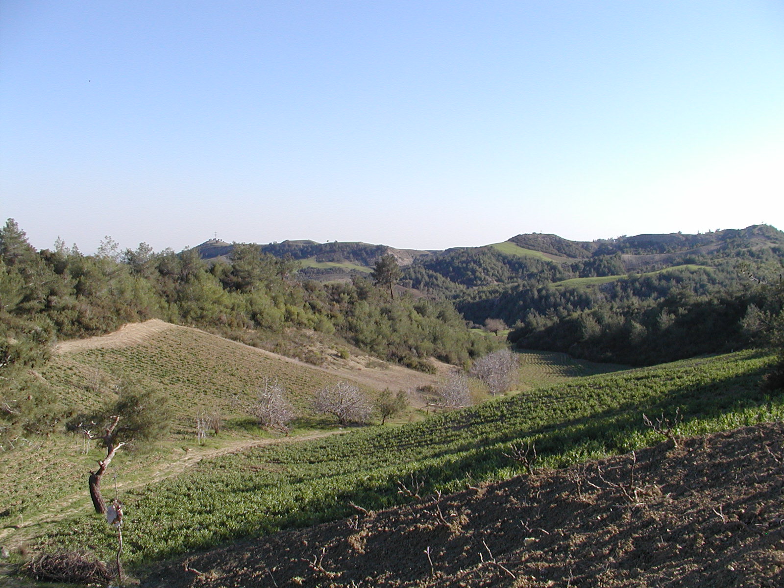
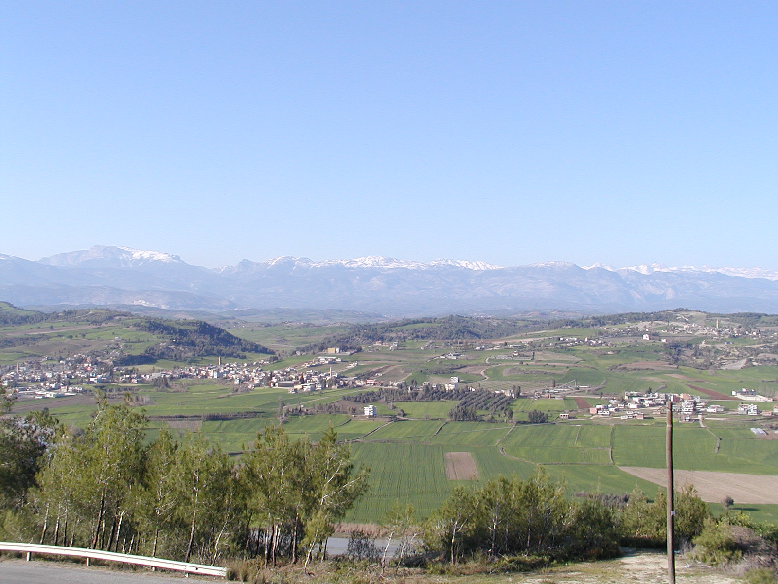
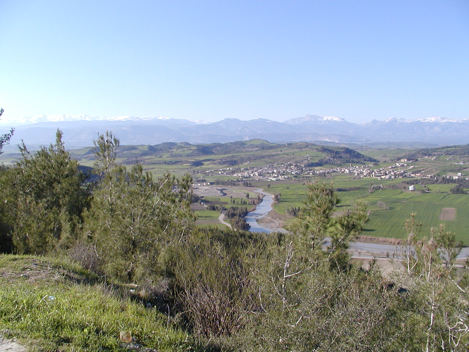
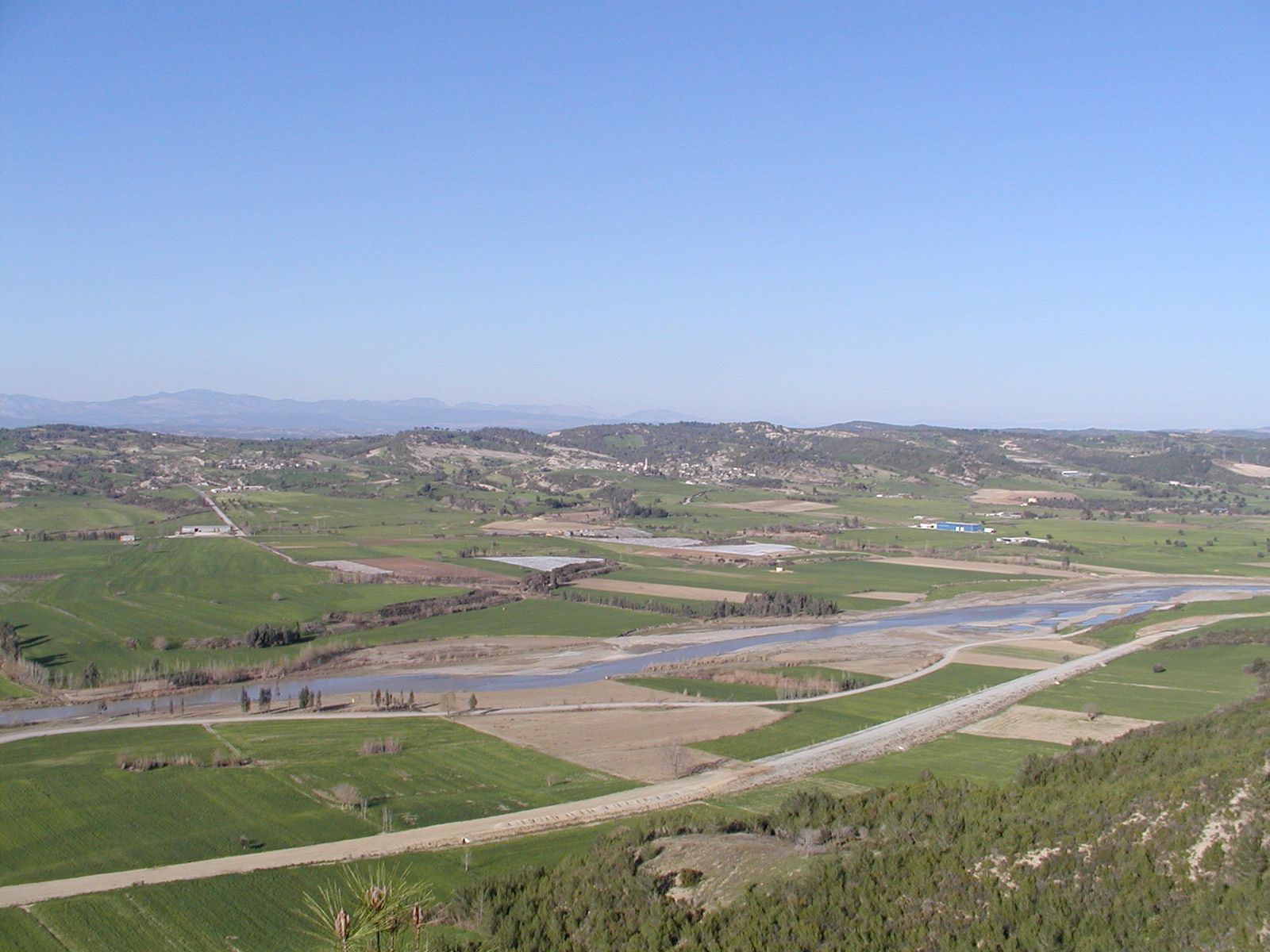
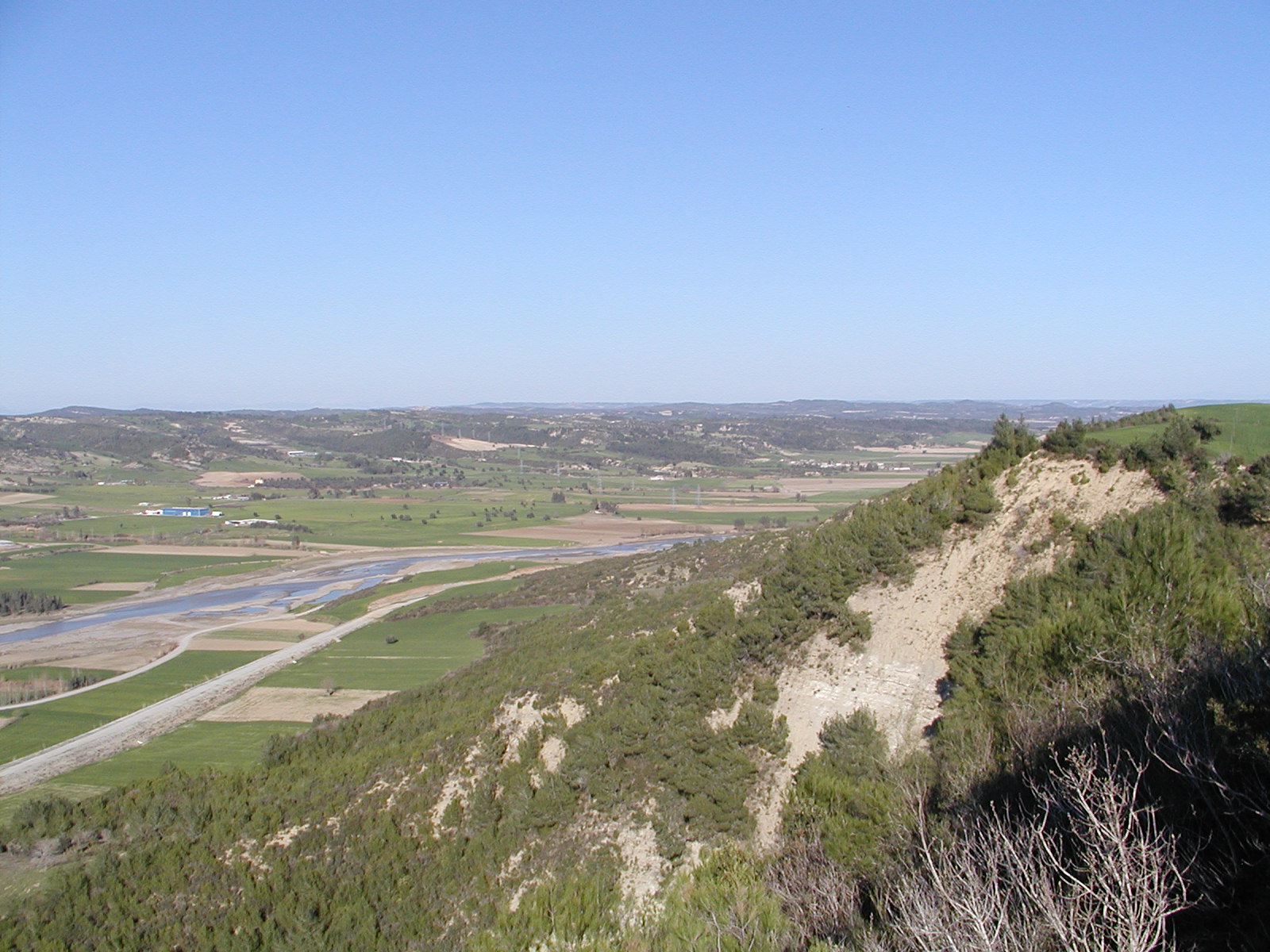
top of the hill
top of the hill
top of the hill
top of the hill
top of the hill
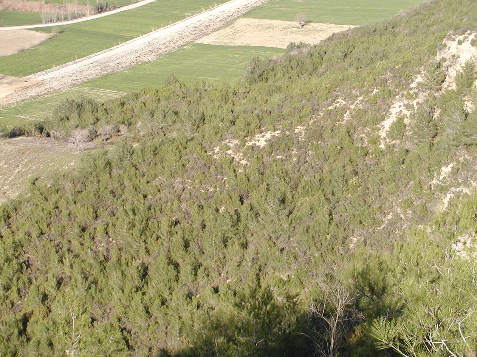
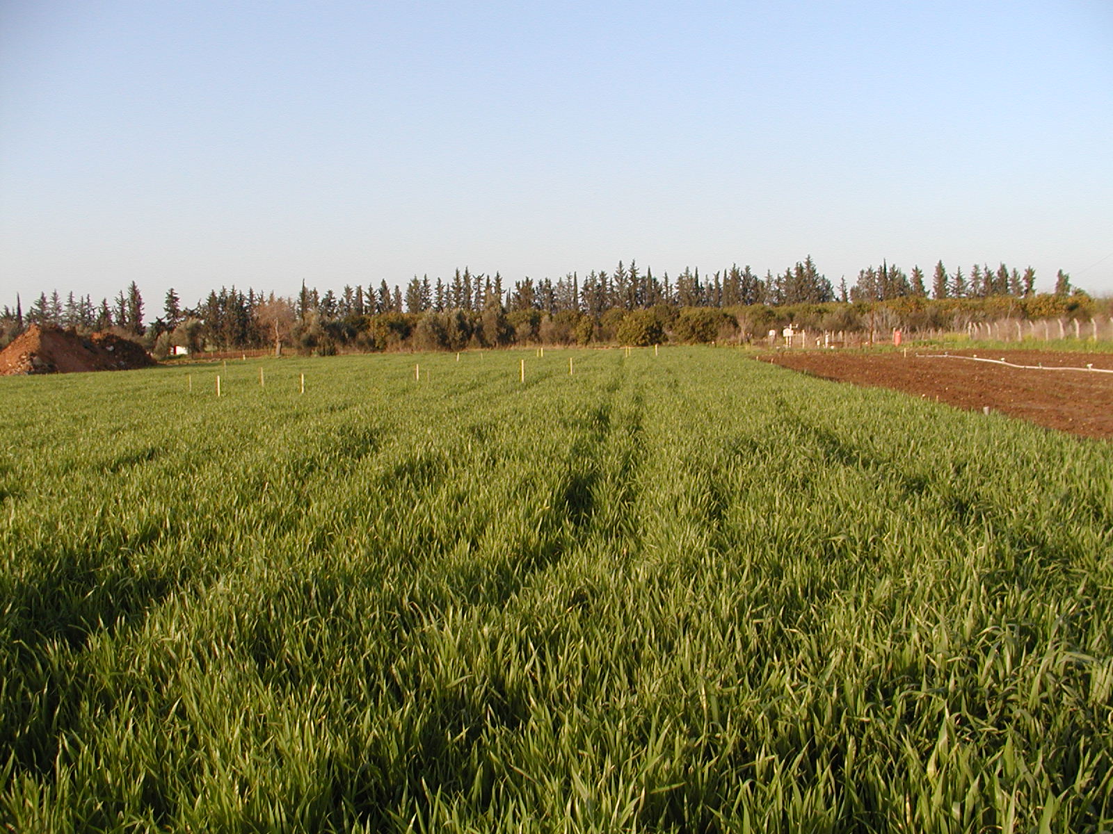
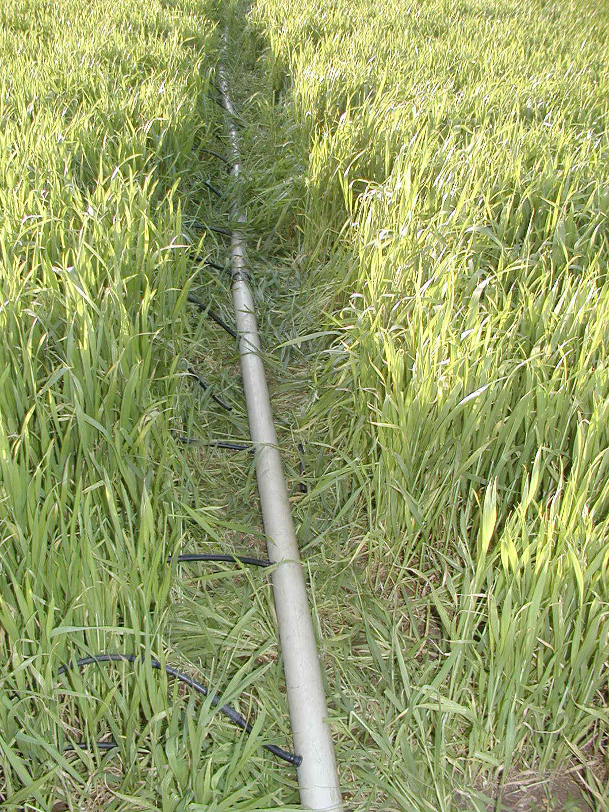
flux measurement
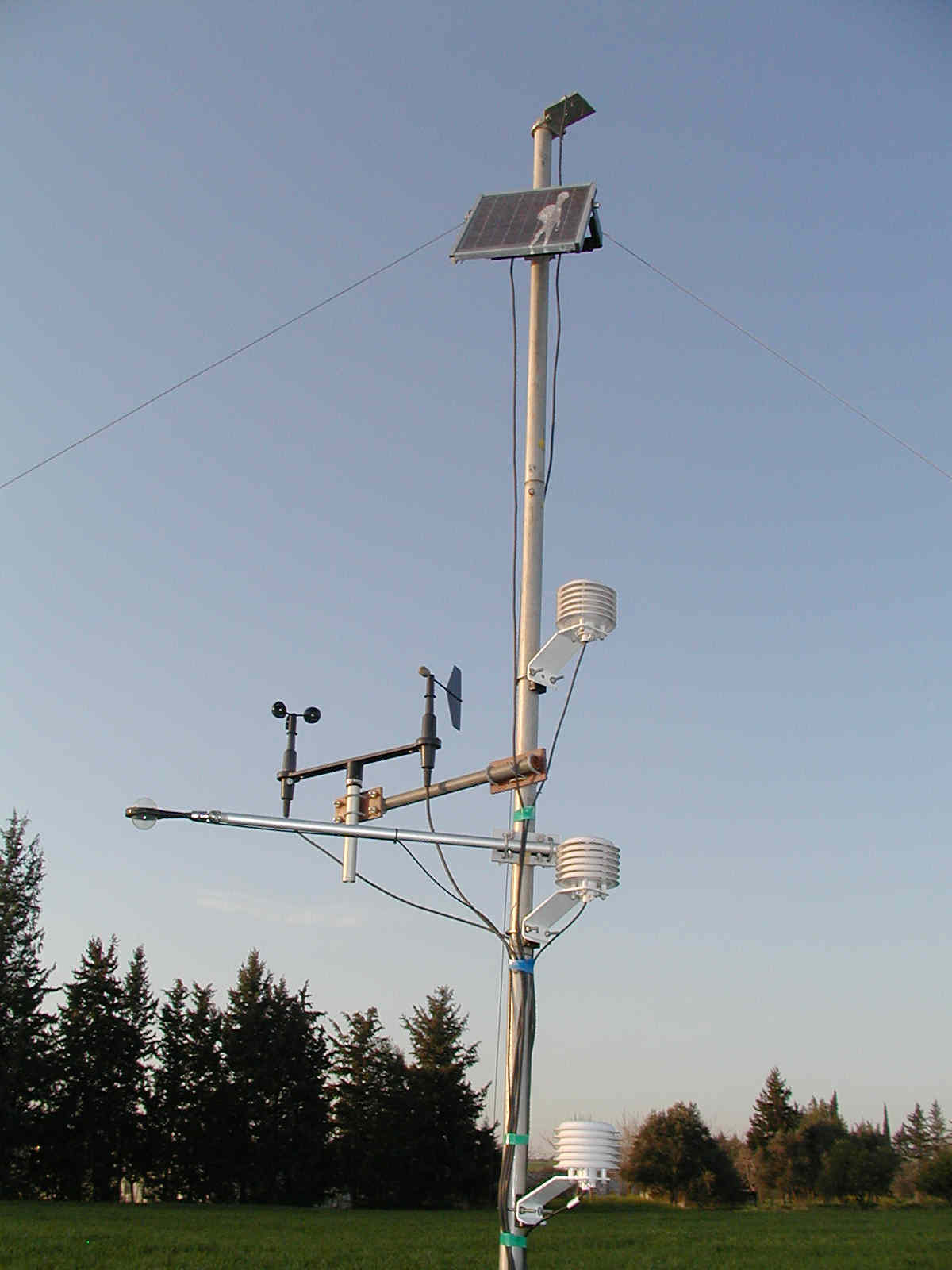
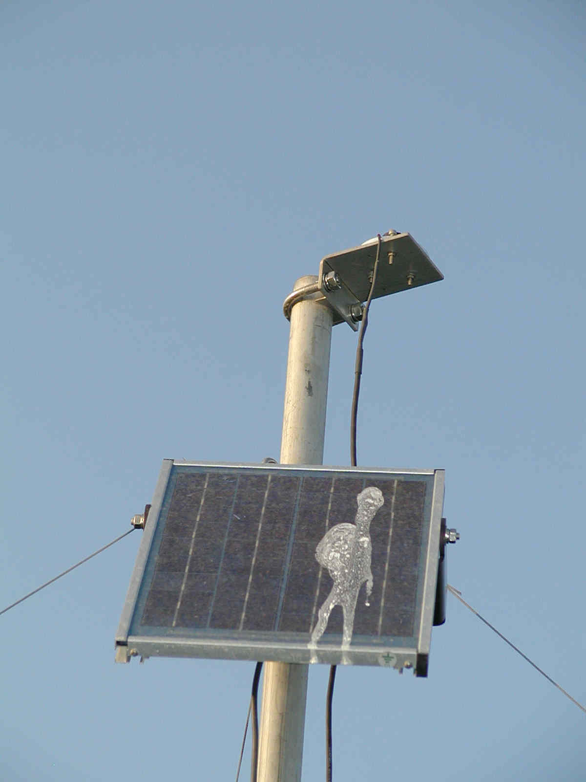
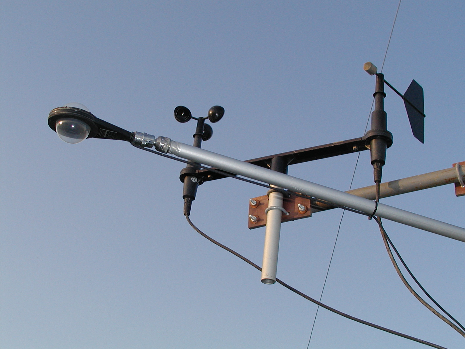
flux measurement
flux measurement
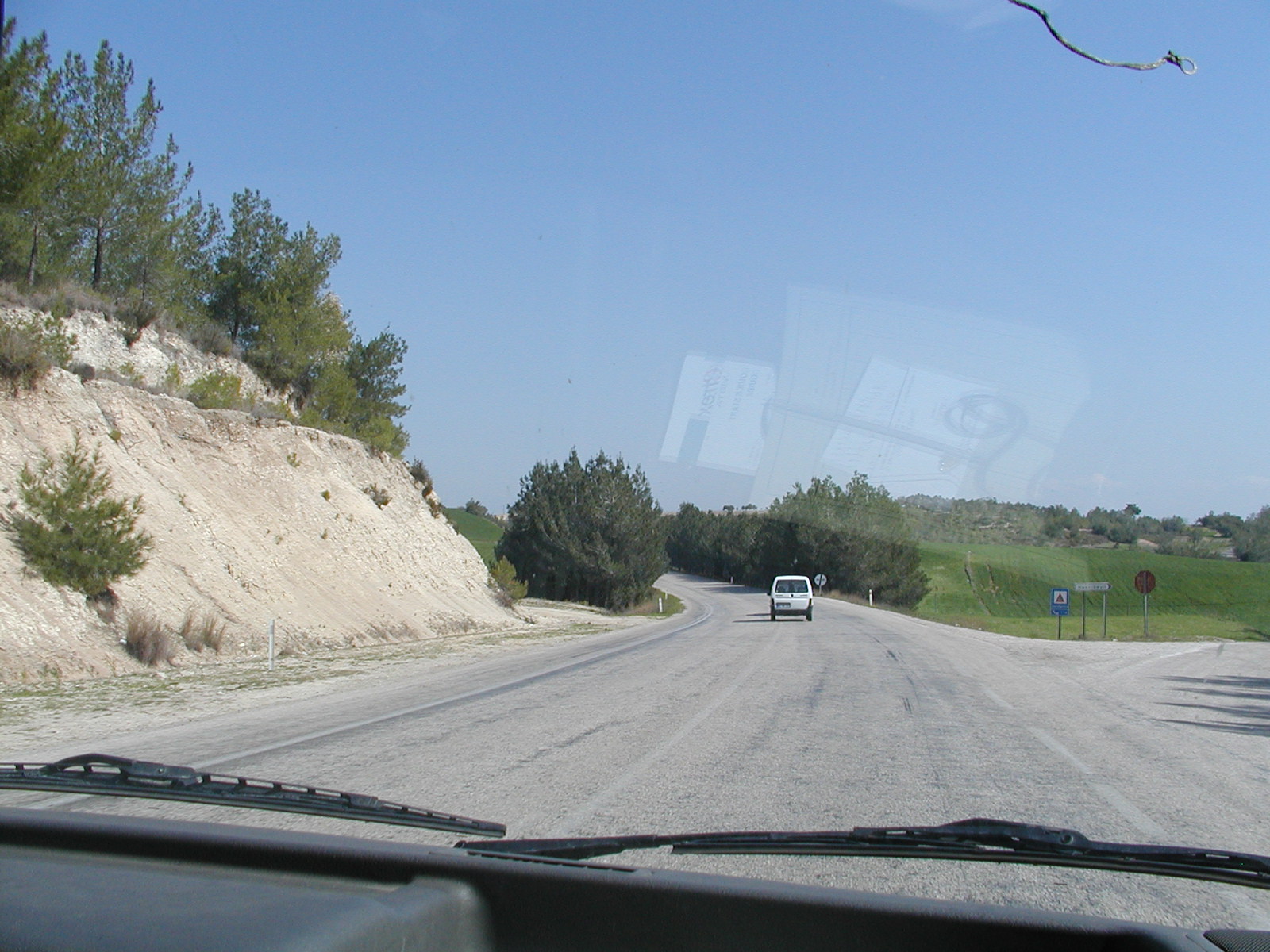
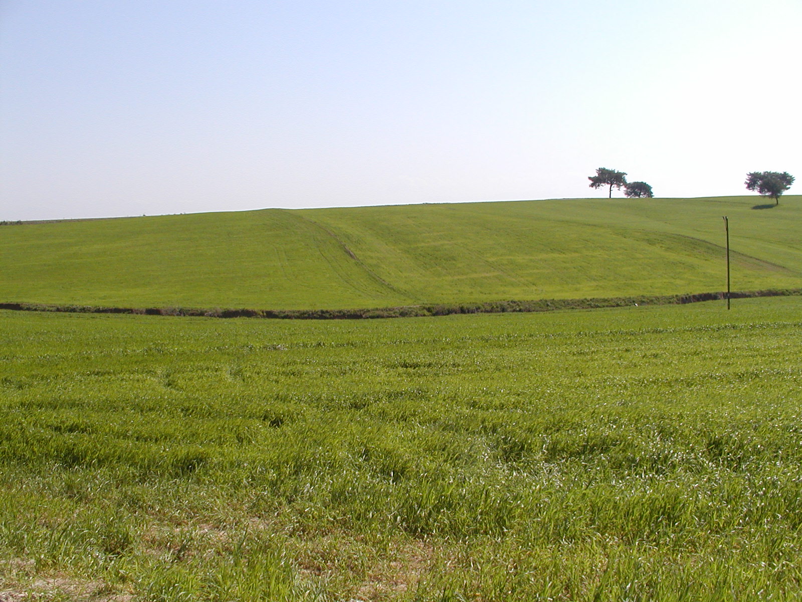
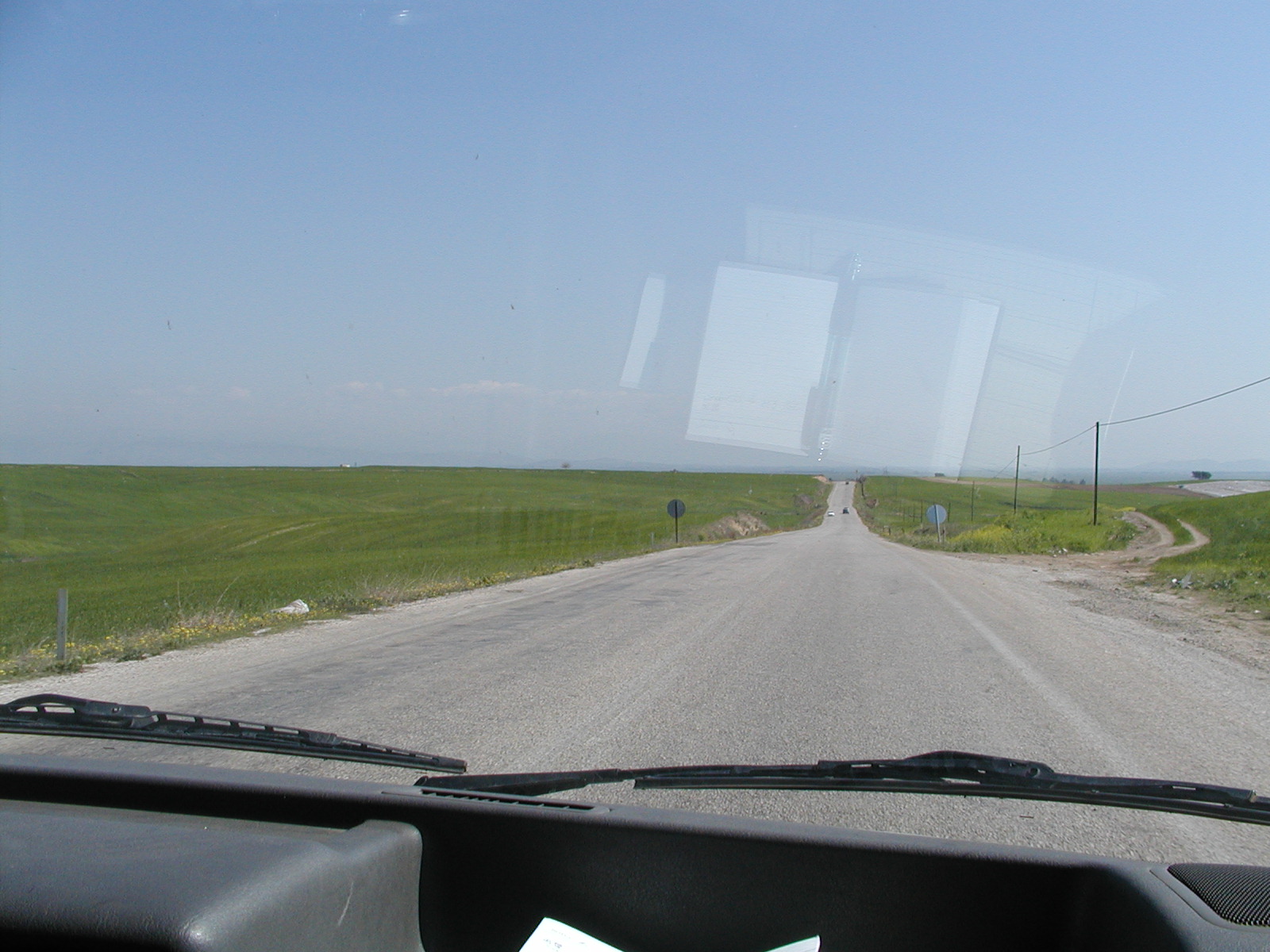
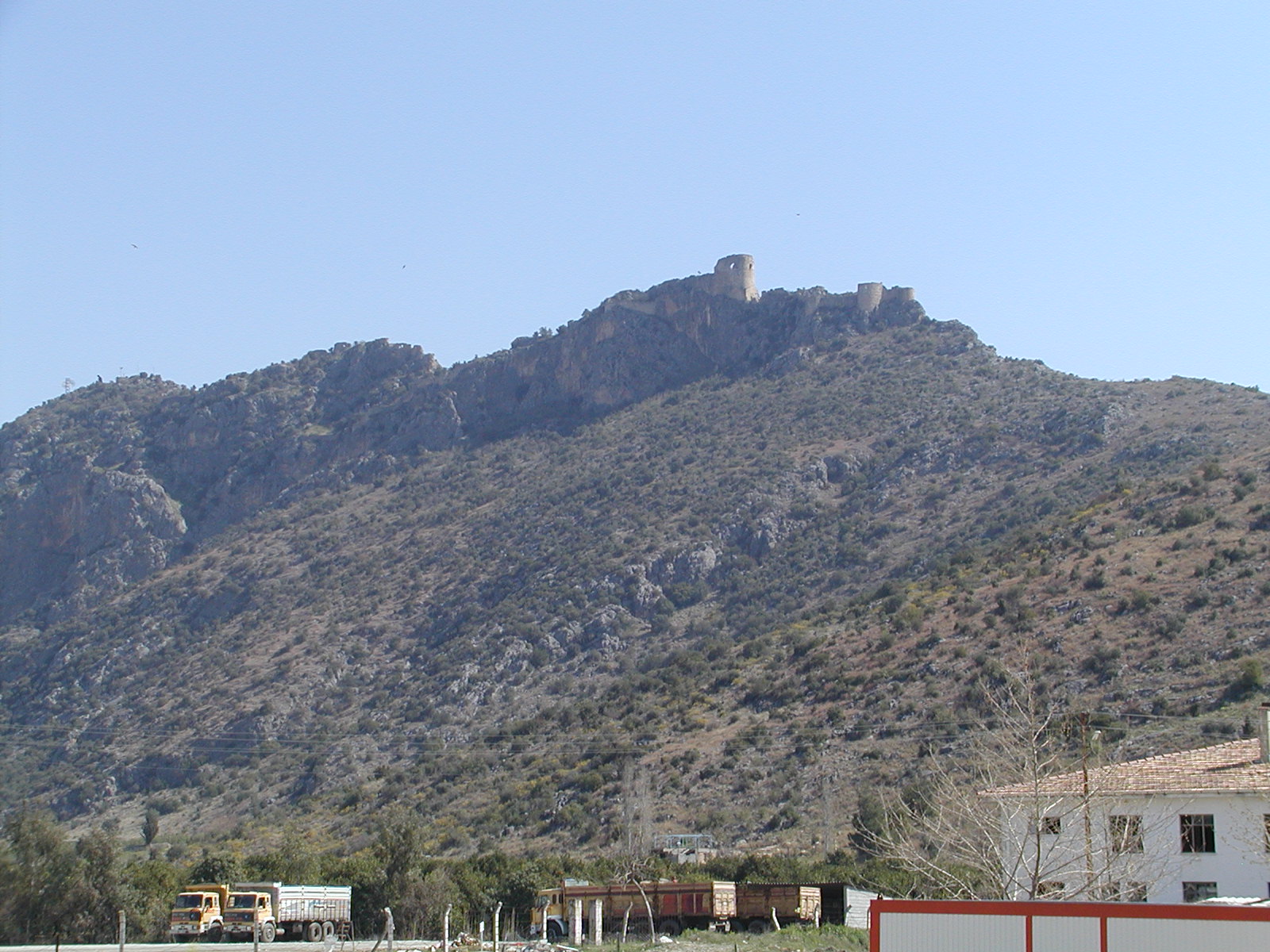
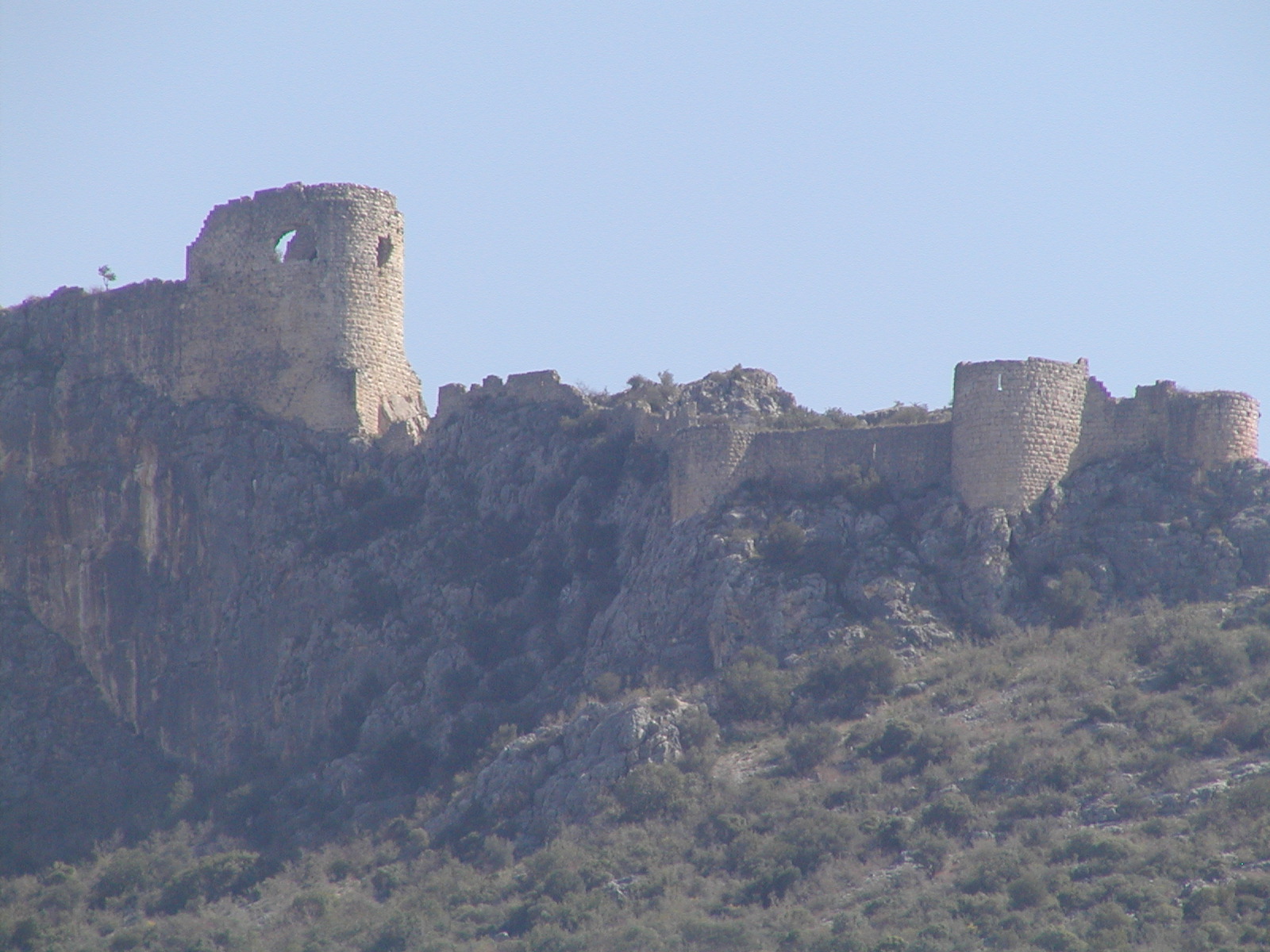
(N37.189, E35.581)
(N37.437, E35.794)
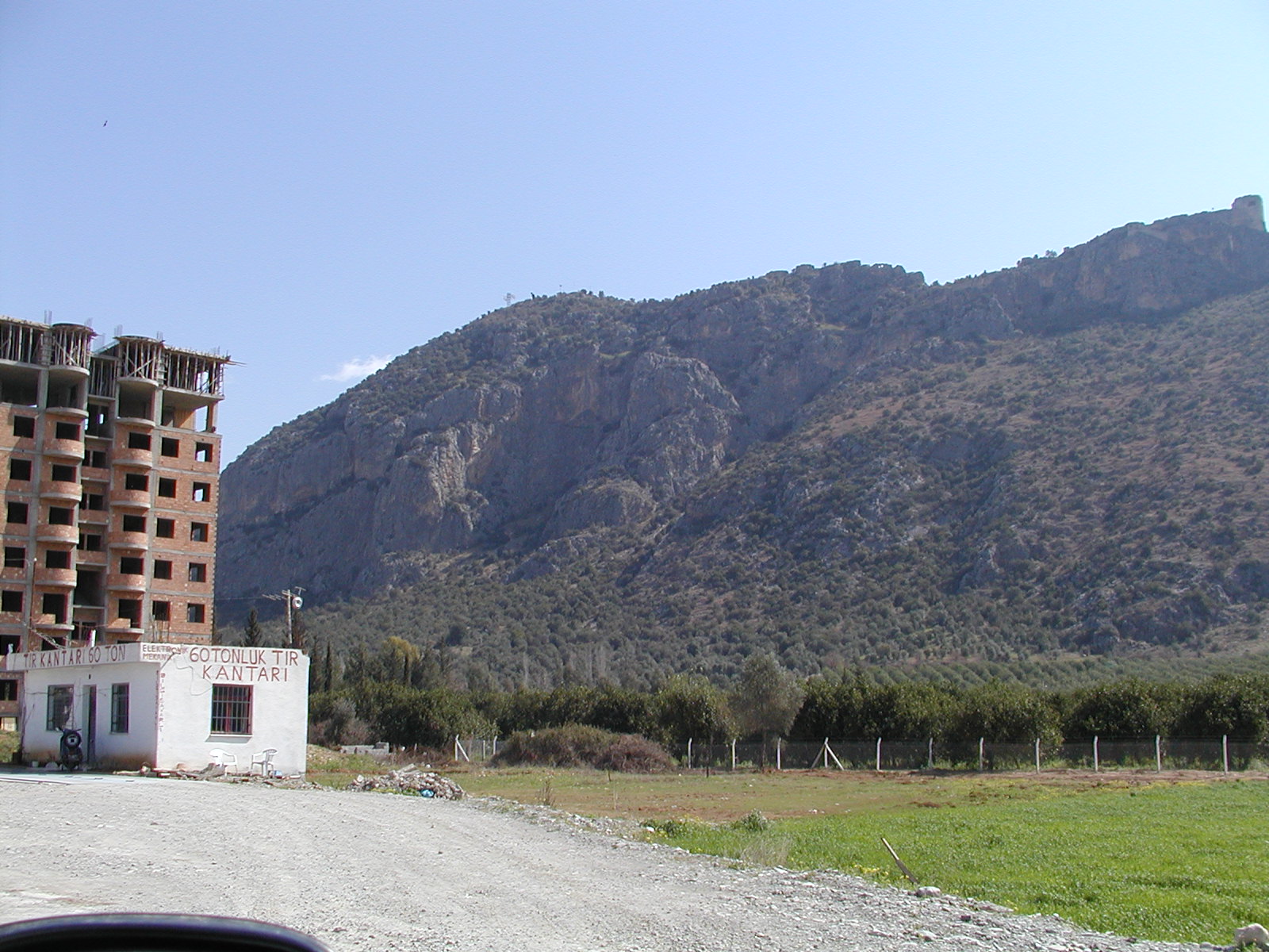
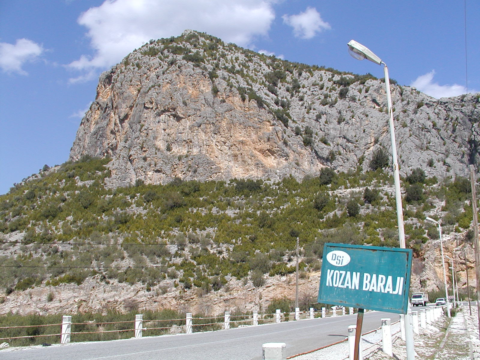
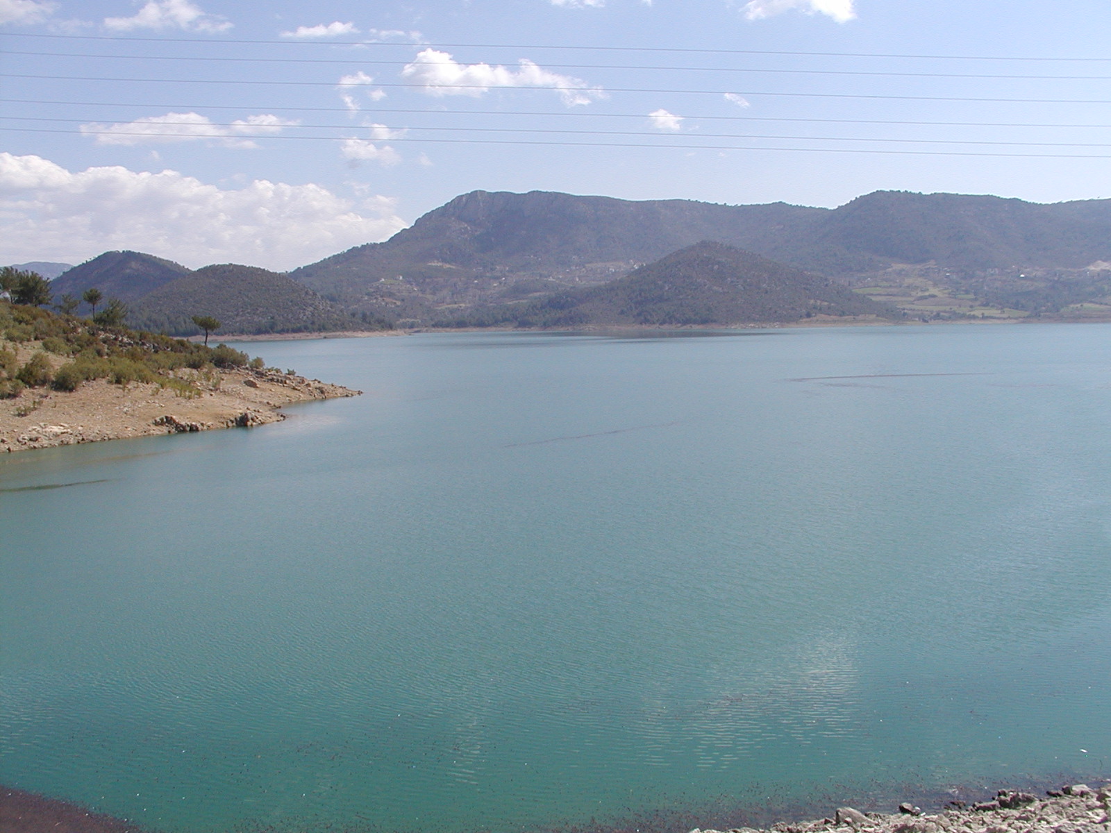
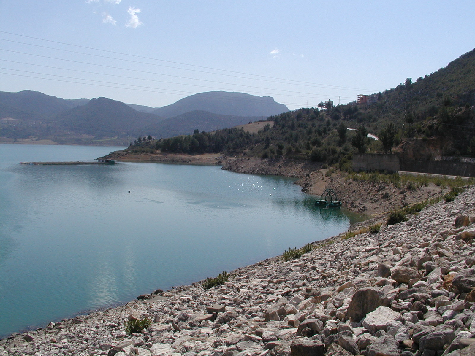
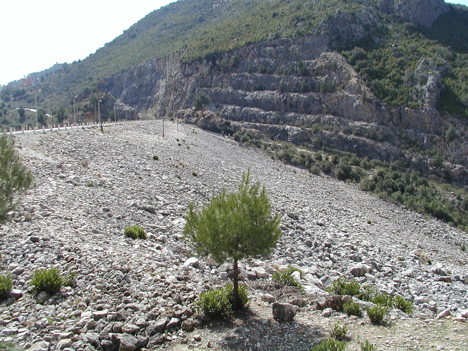
(N37.519, E35.831)
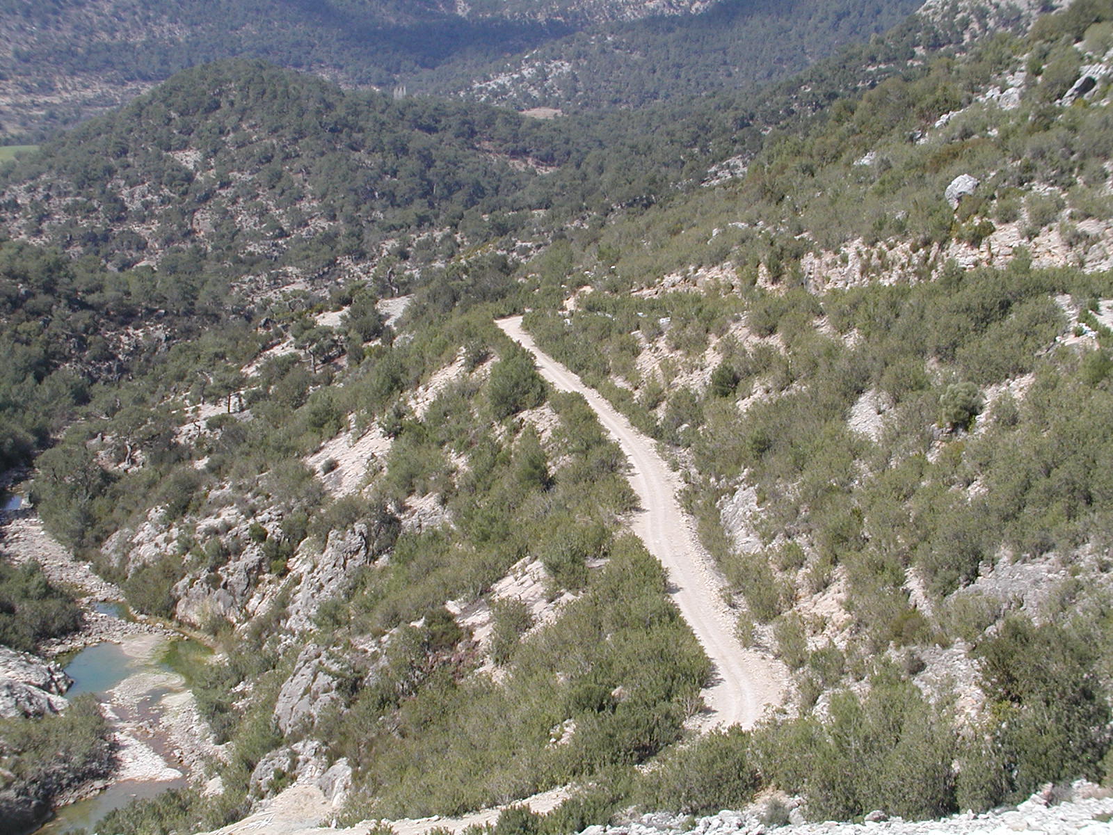
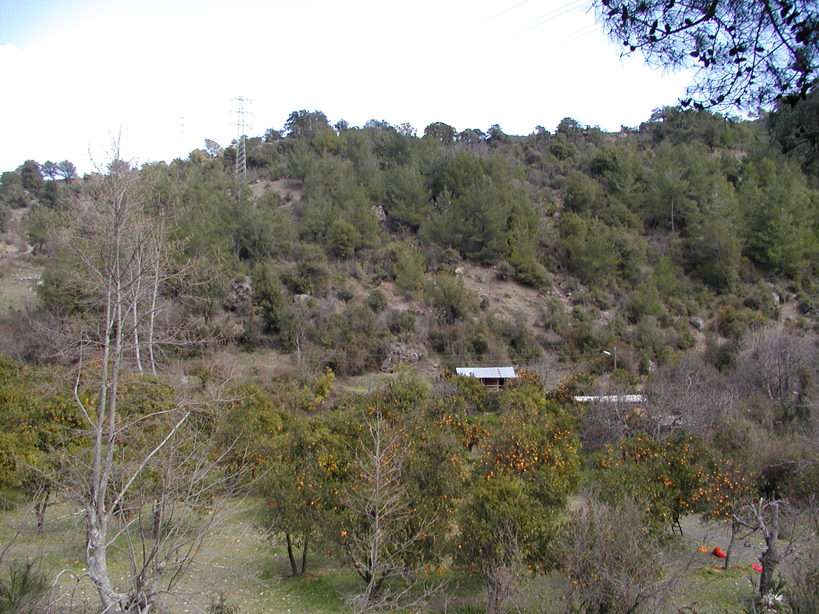
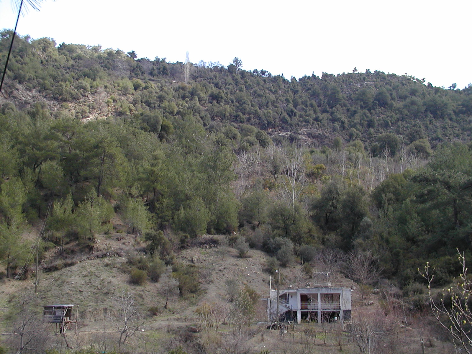
(N37.732, E35.889)
Photography of the Seyhan River Basin in Turkey
ICCAP field trip (2004/3/12-3/21) Page 3
|
|
|
|
|
|
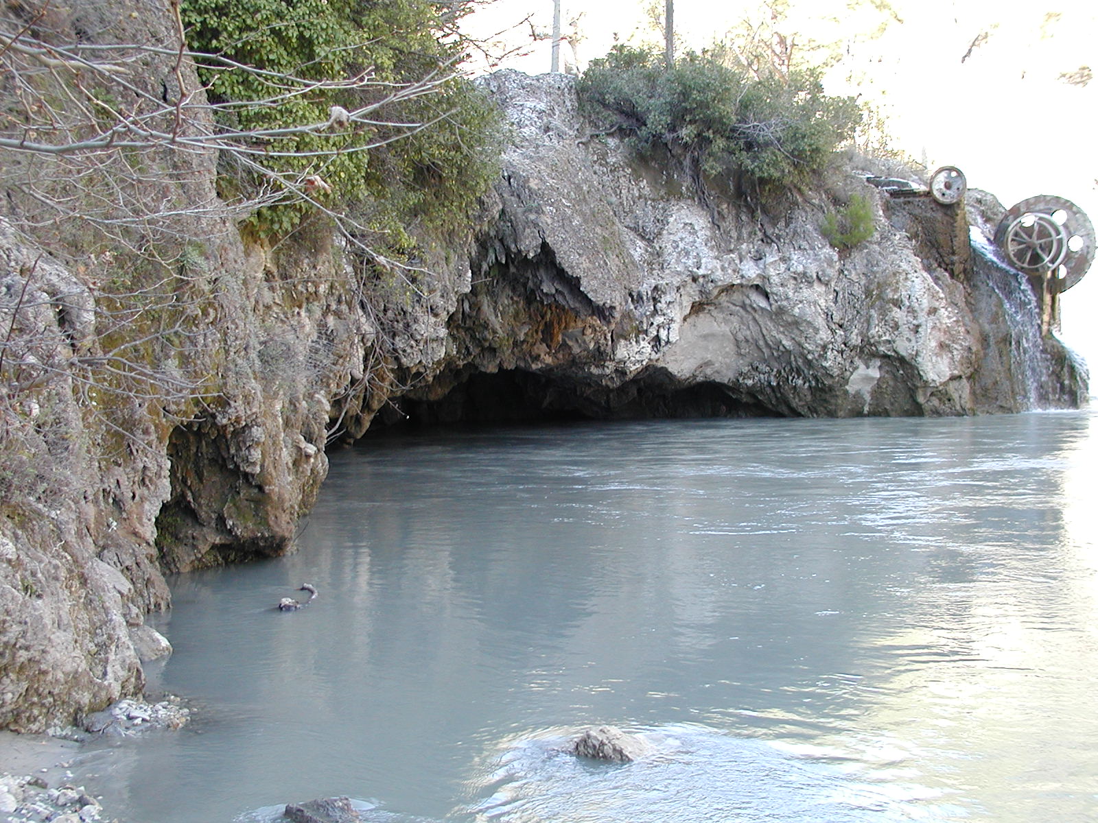
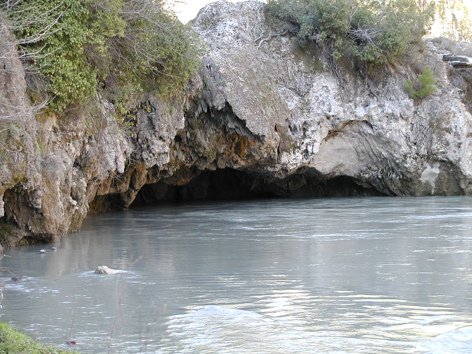
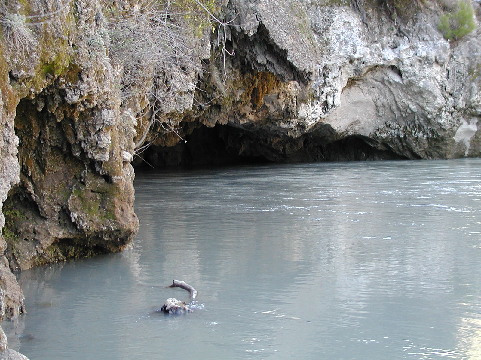
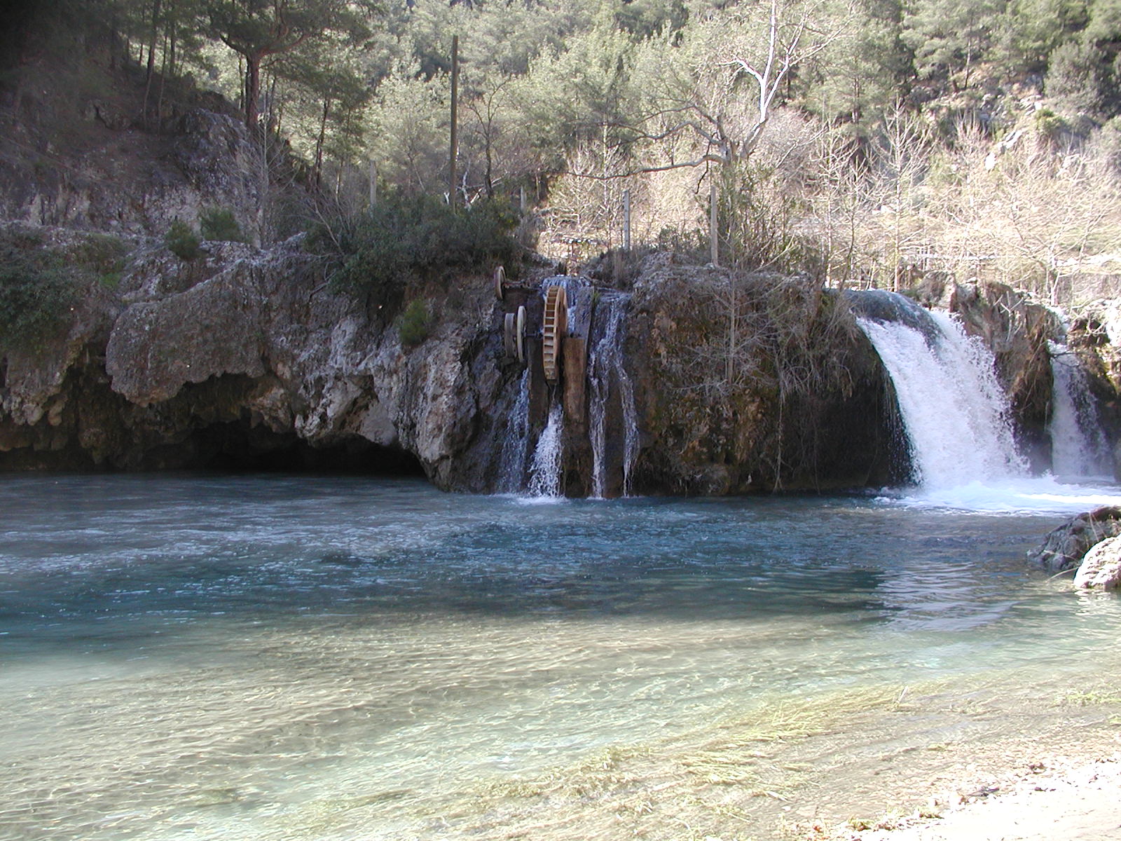
| cave 1 | cave 2 | cave 3 | fall (Yerkopru) | fall (Yerkopru) |
|
|
|
|
|
|
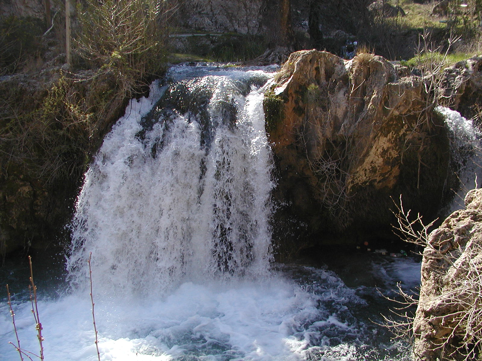
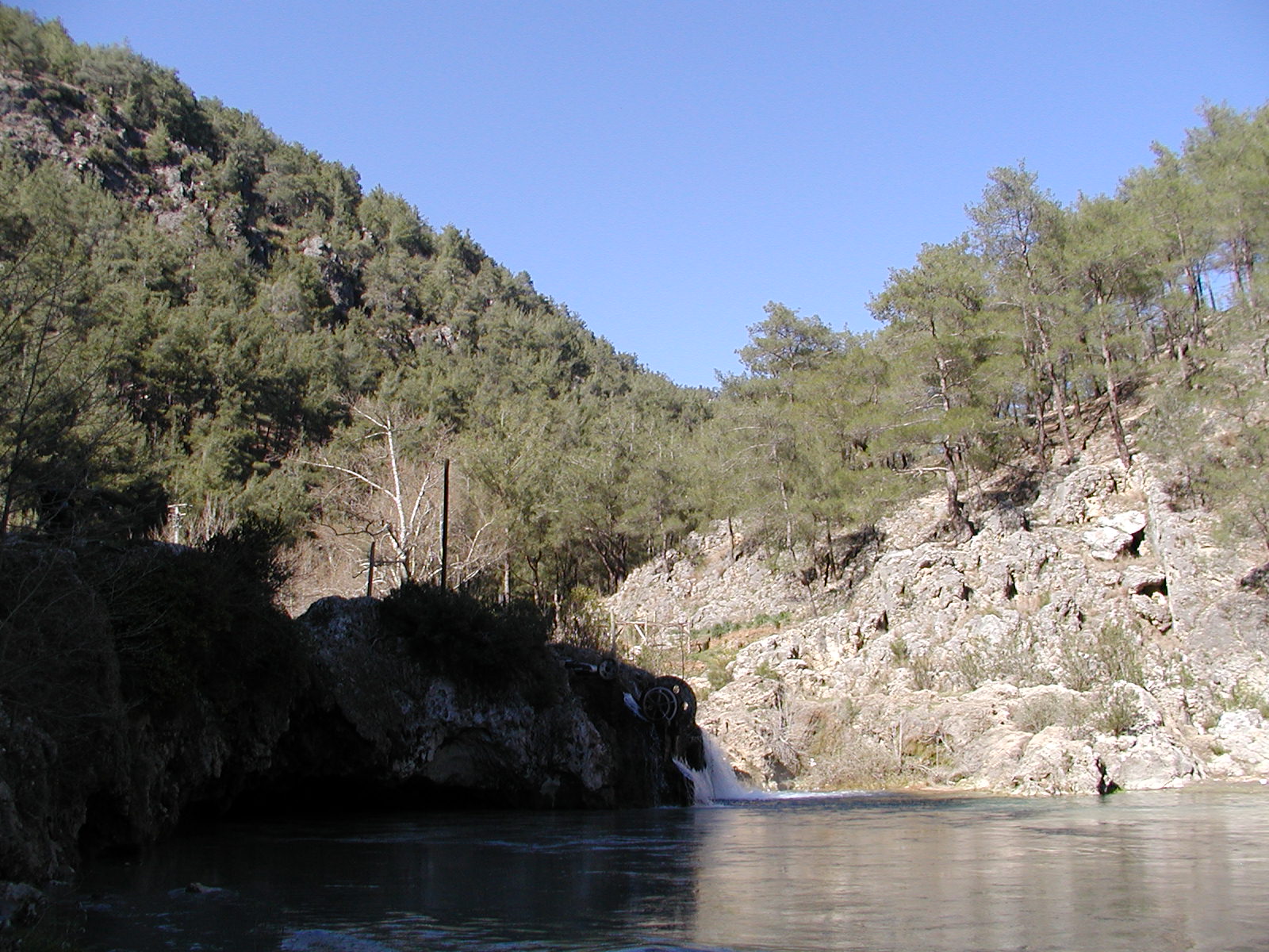
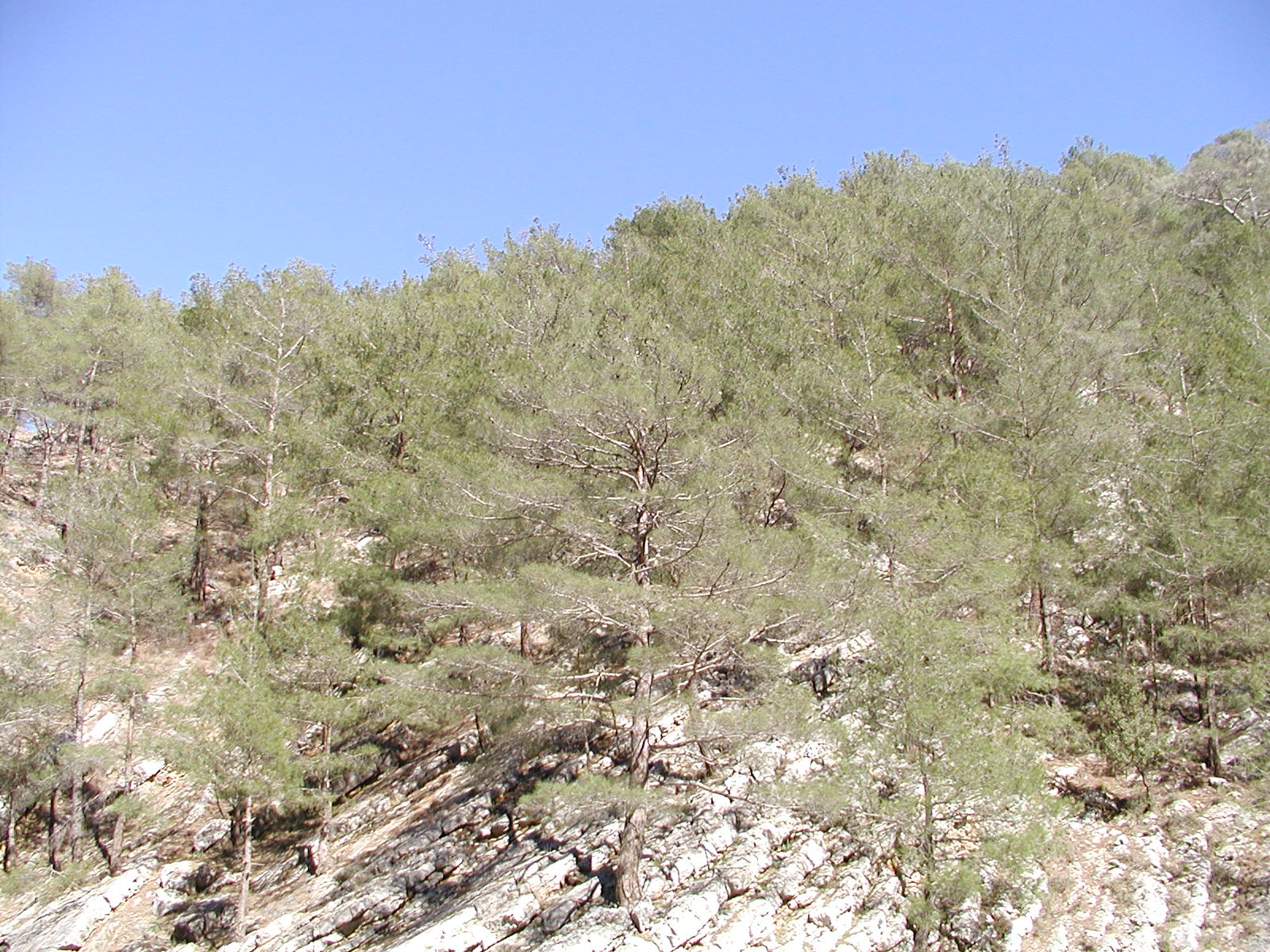
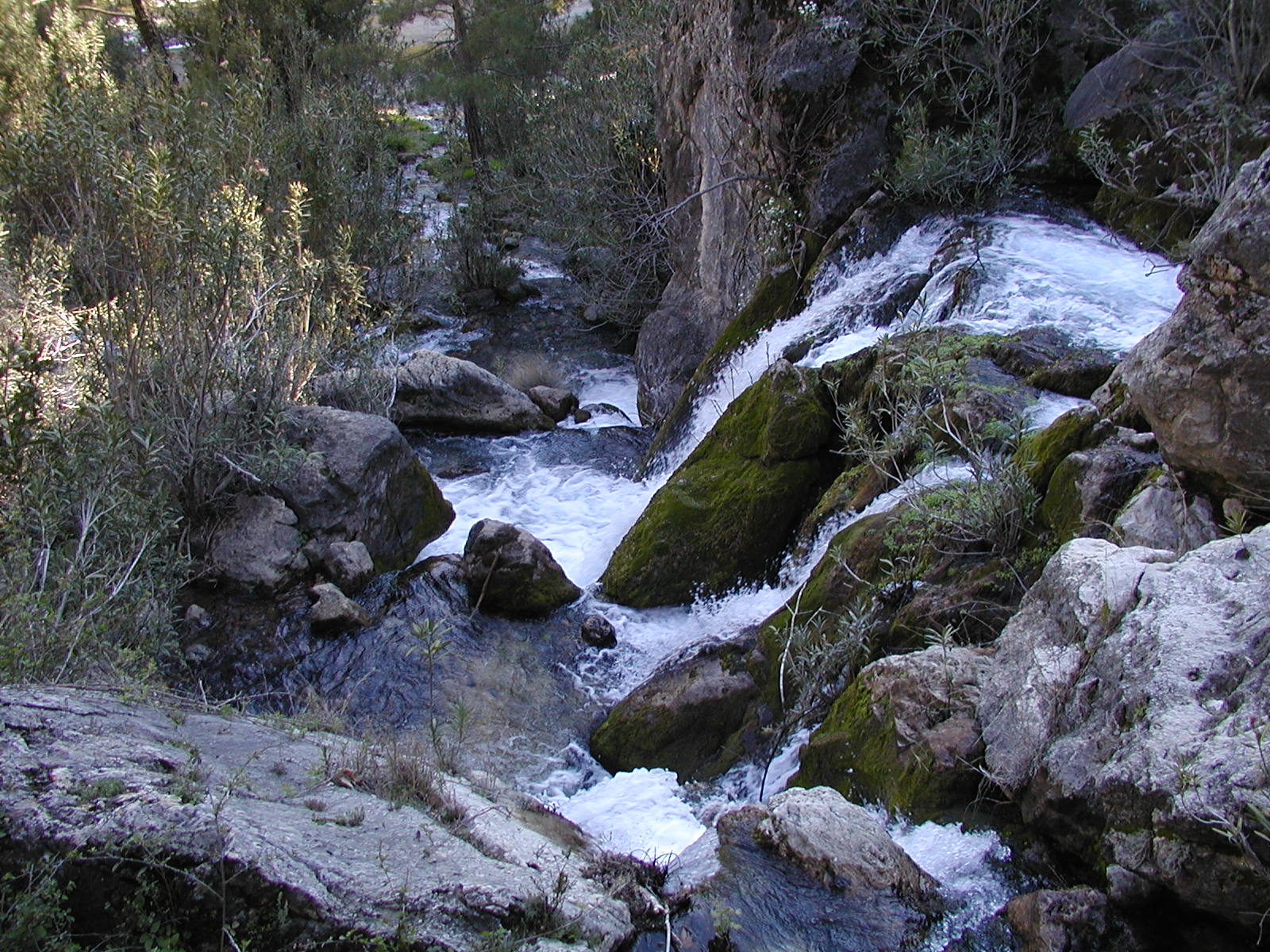
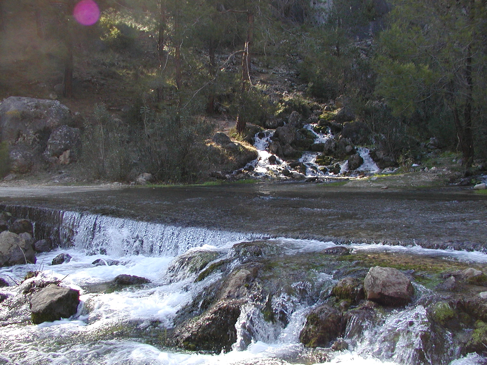
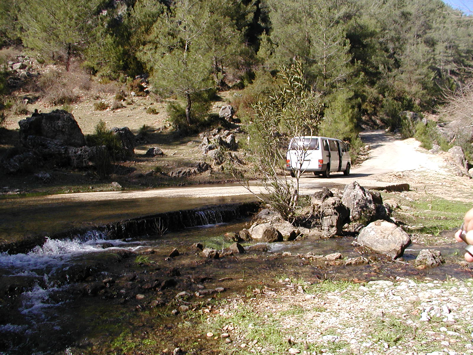
| forest(Yerkopru) | forest(Yerkopru) | fall (Yerkopru) | water on the road | water on the road |
|
|
|
|
|
|
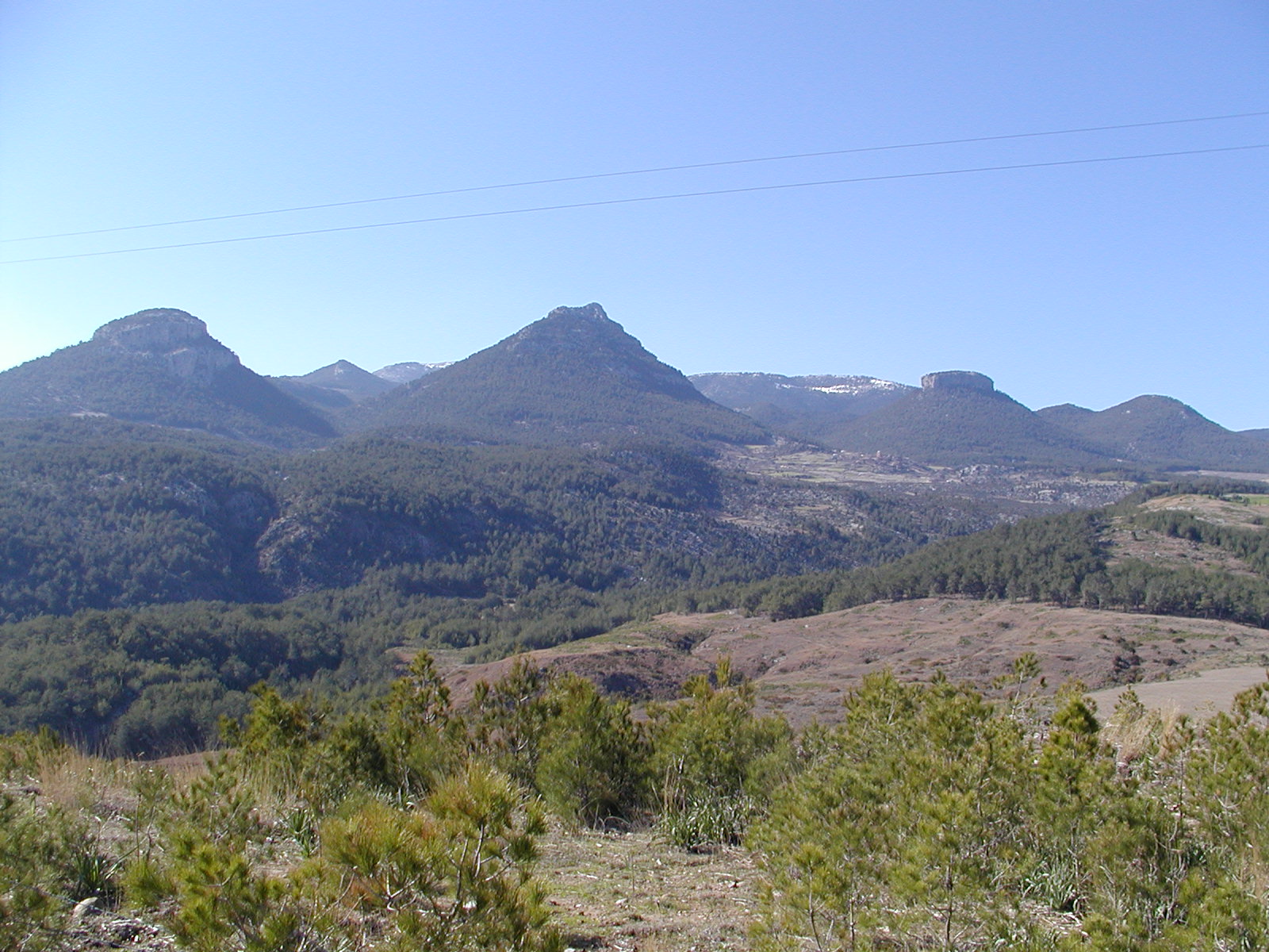
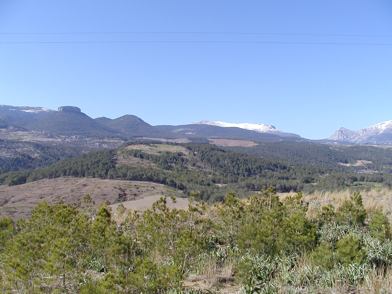
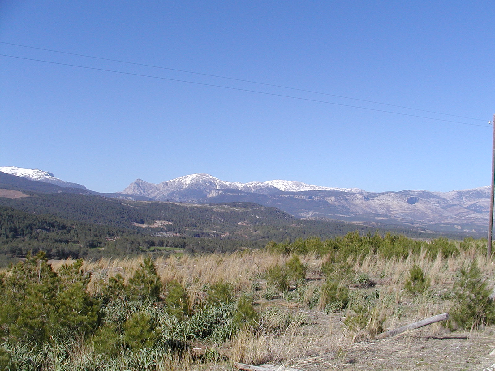
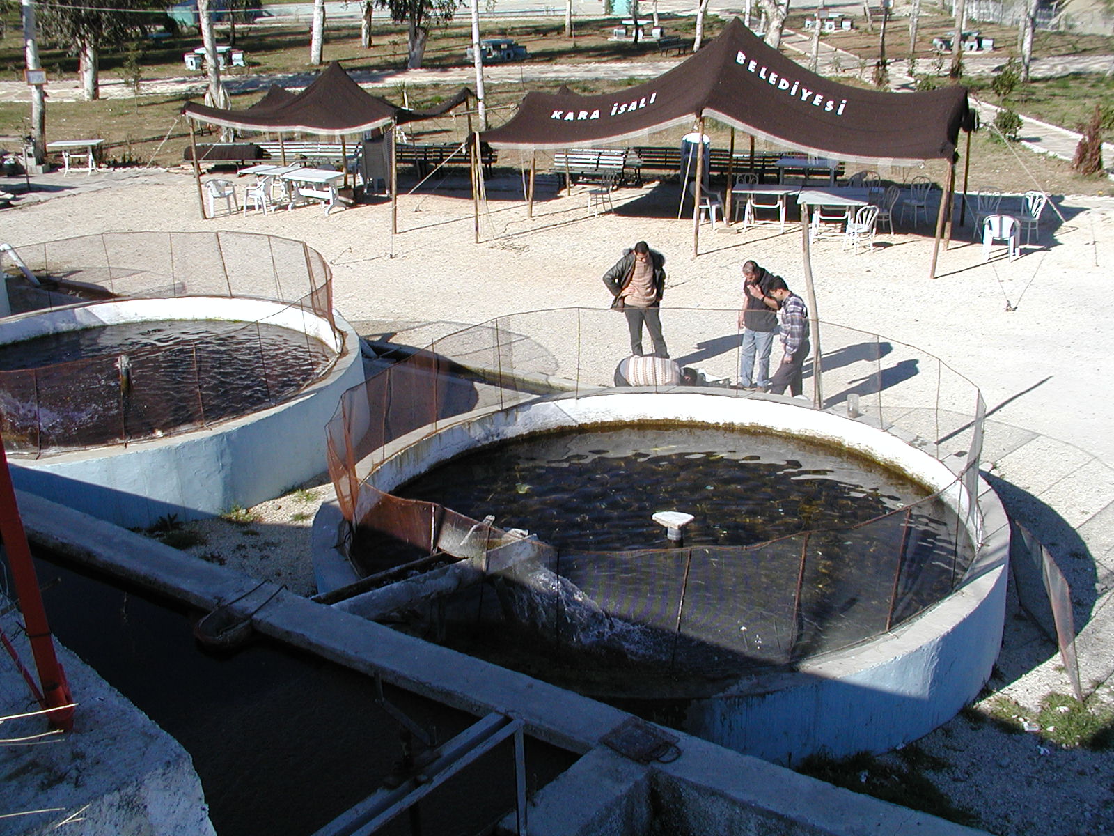
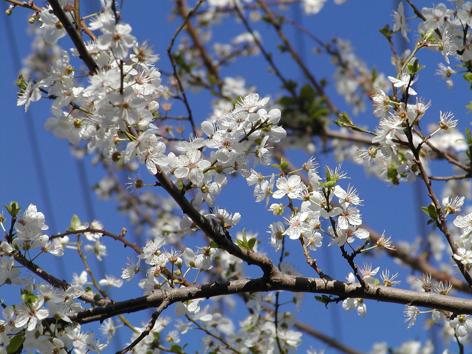
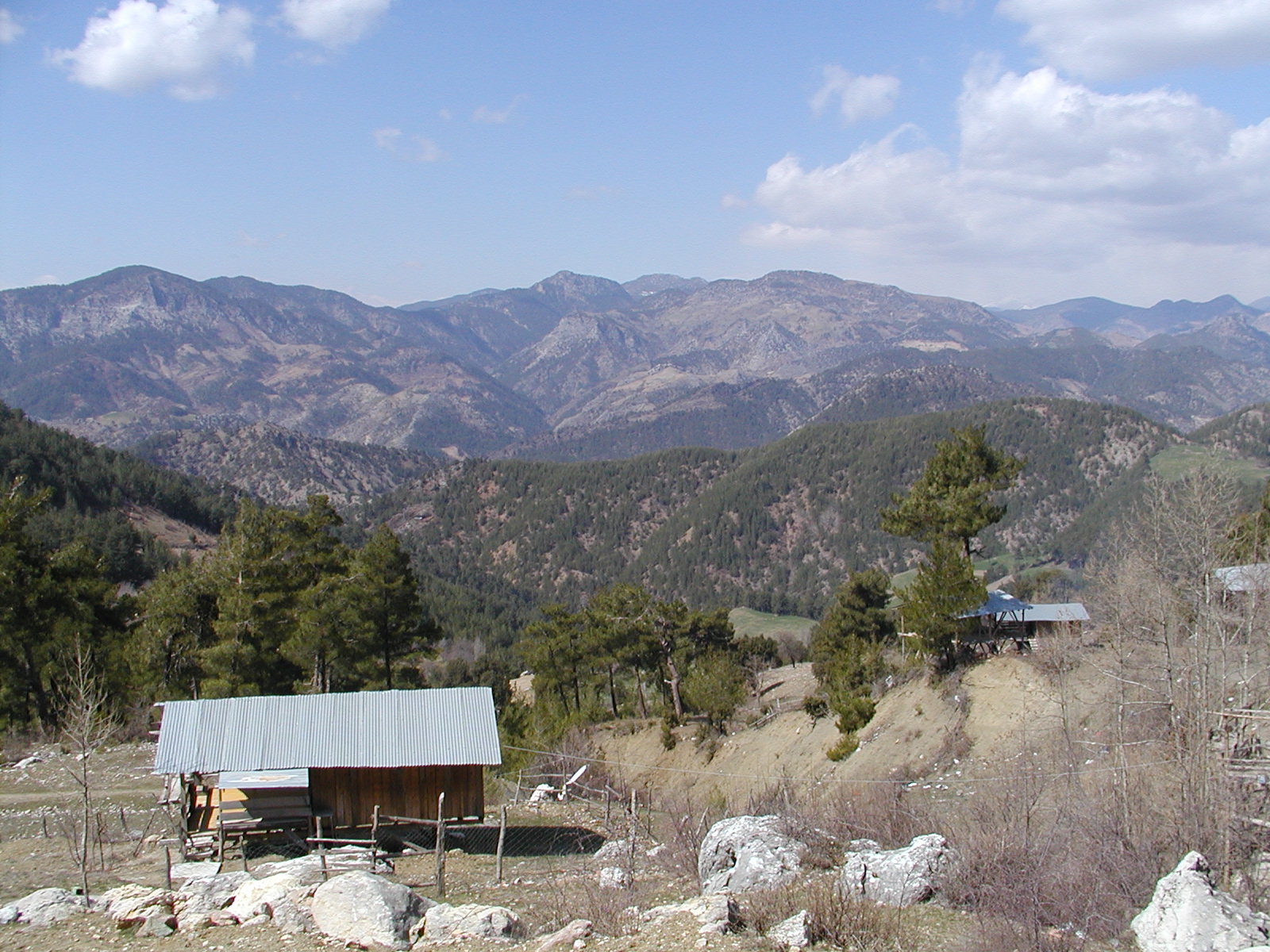
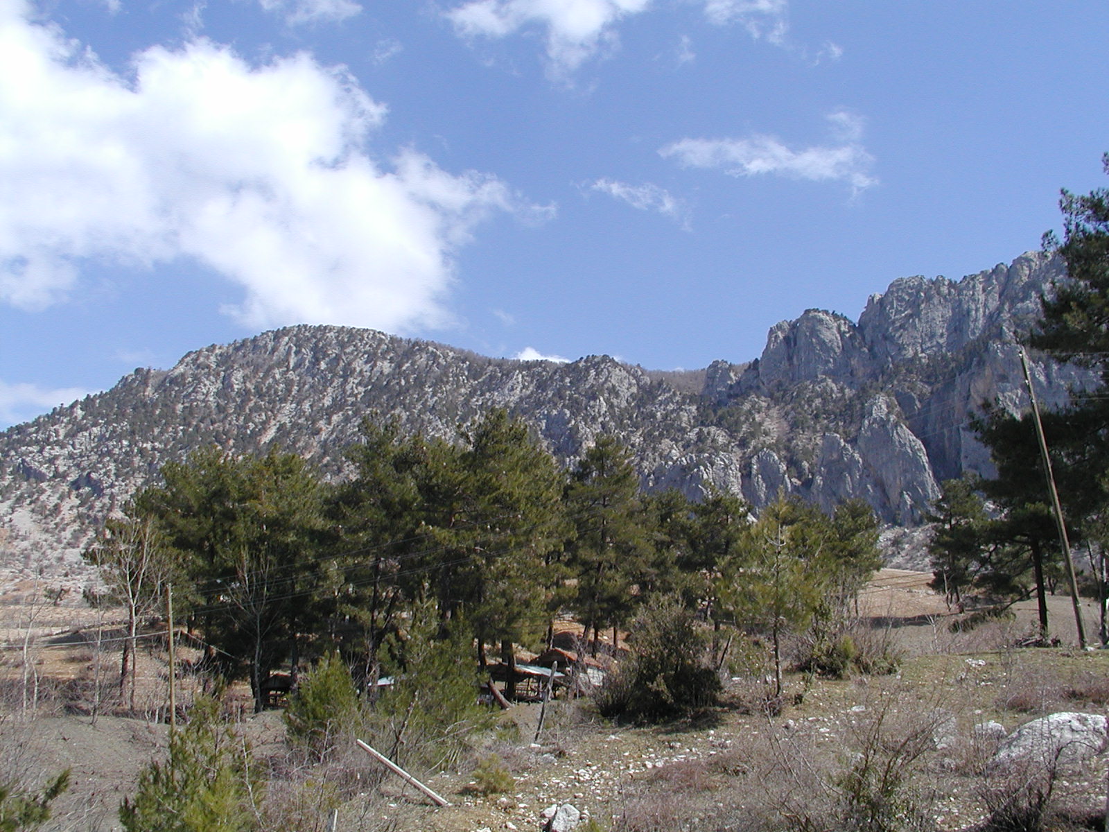
| mountain 1 | mountain 2 | mountain 3 | fish pond | cherry blossom |
|
|
|
|
|
|
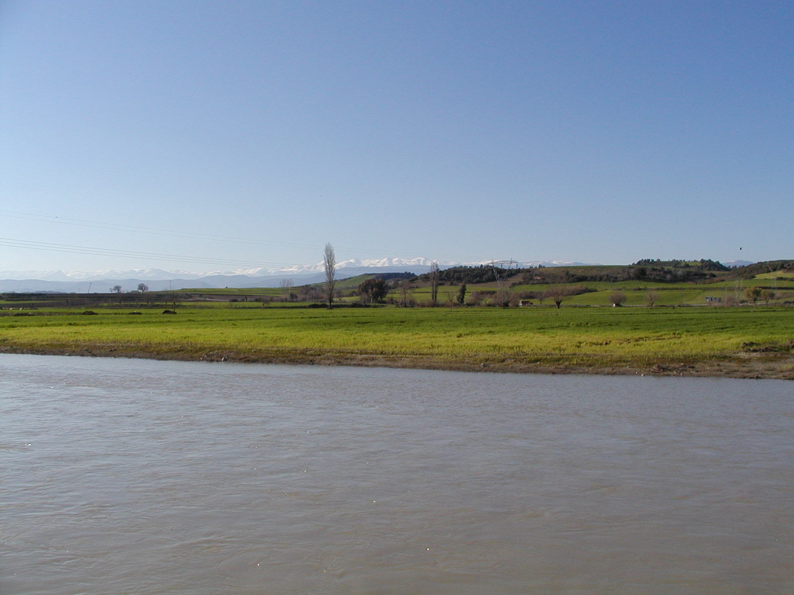
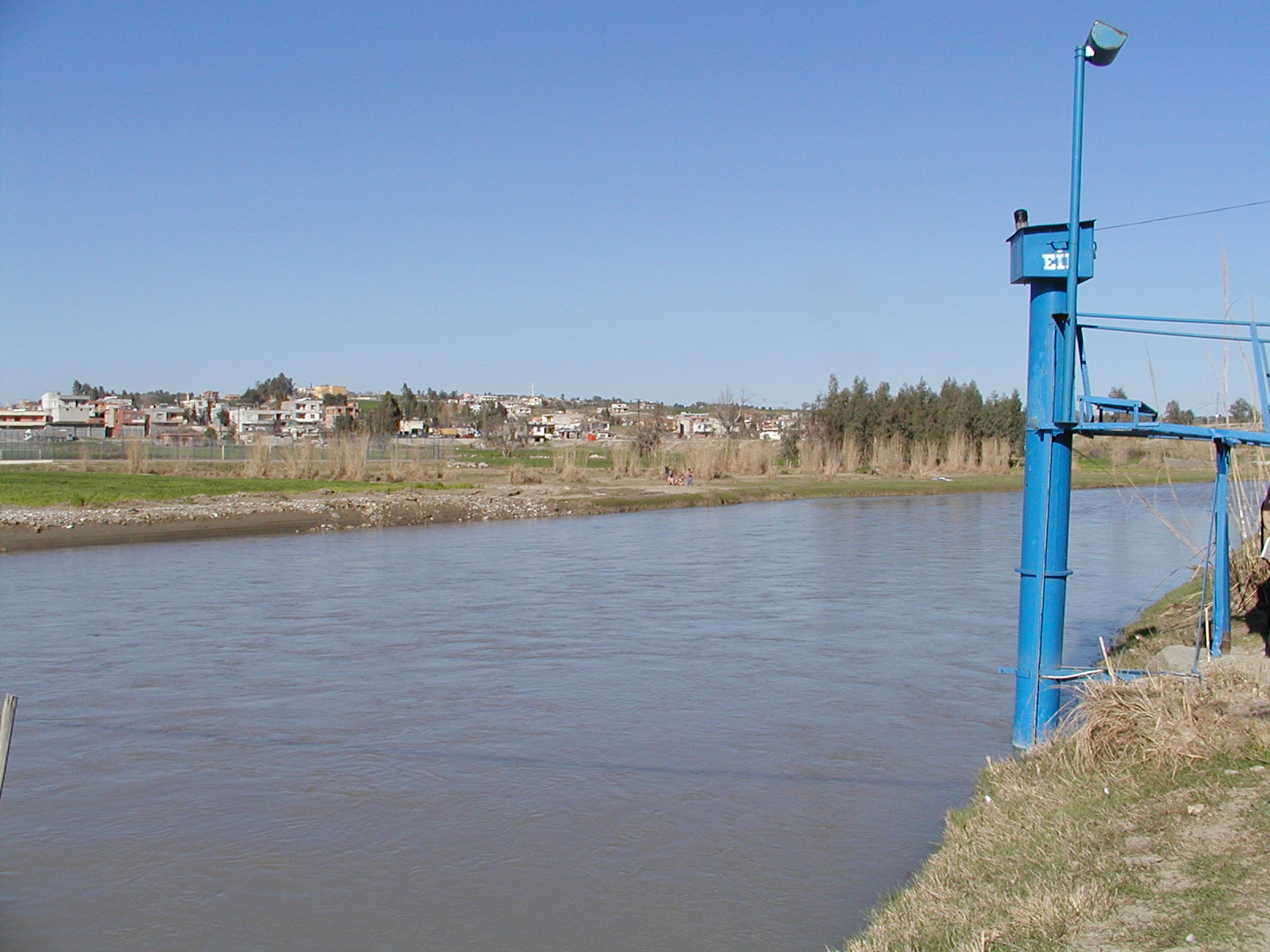
| Cakit river | EIE station (Salvas) (N37.103, E35.107) |
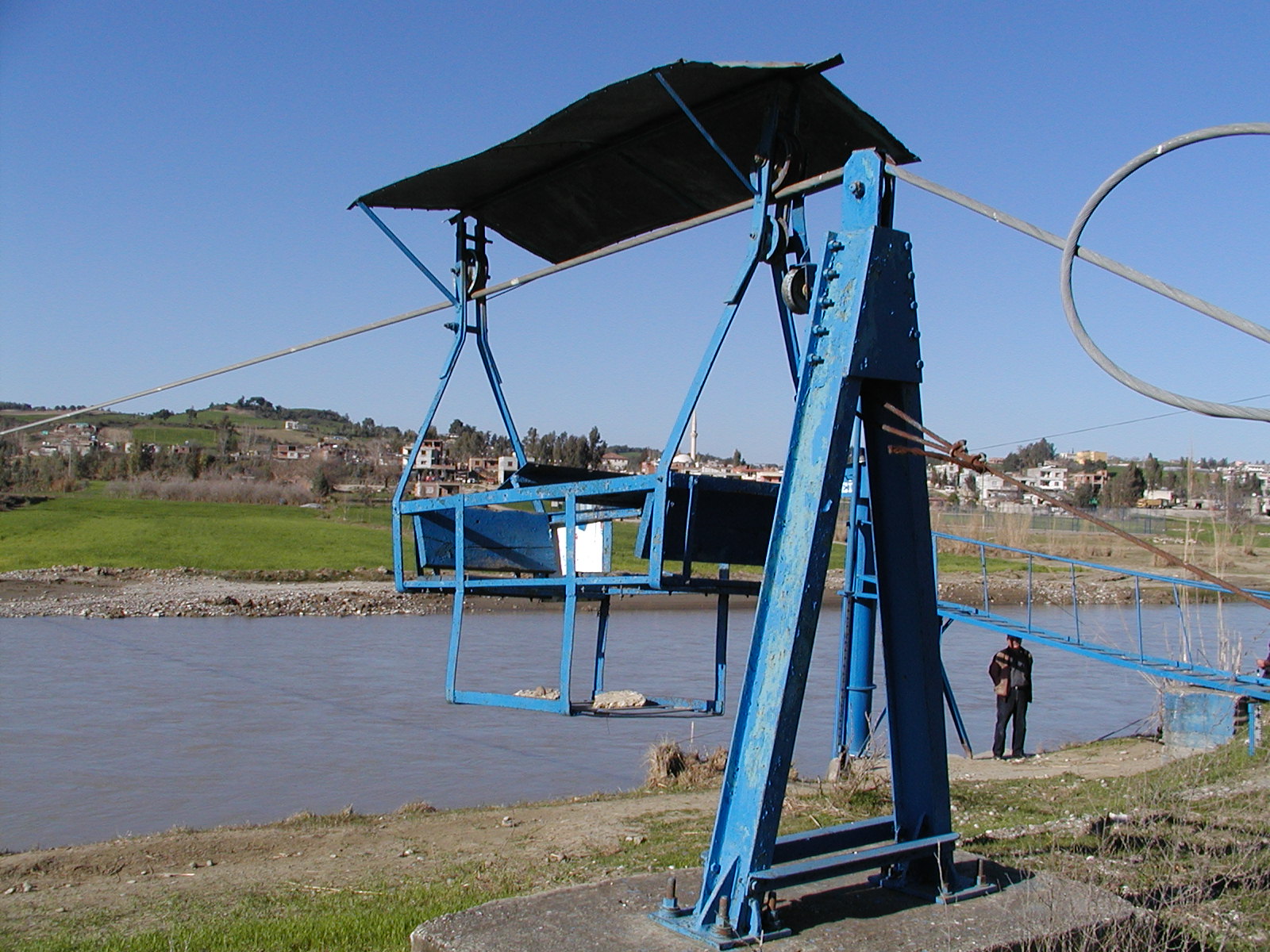
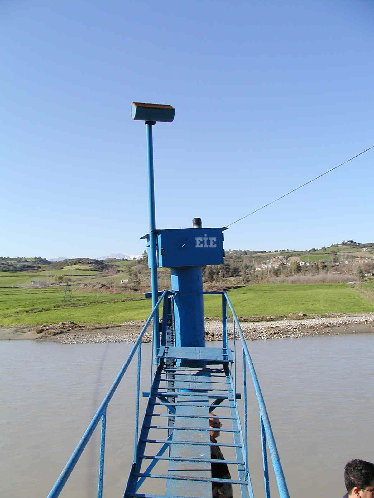
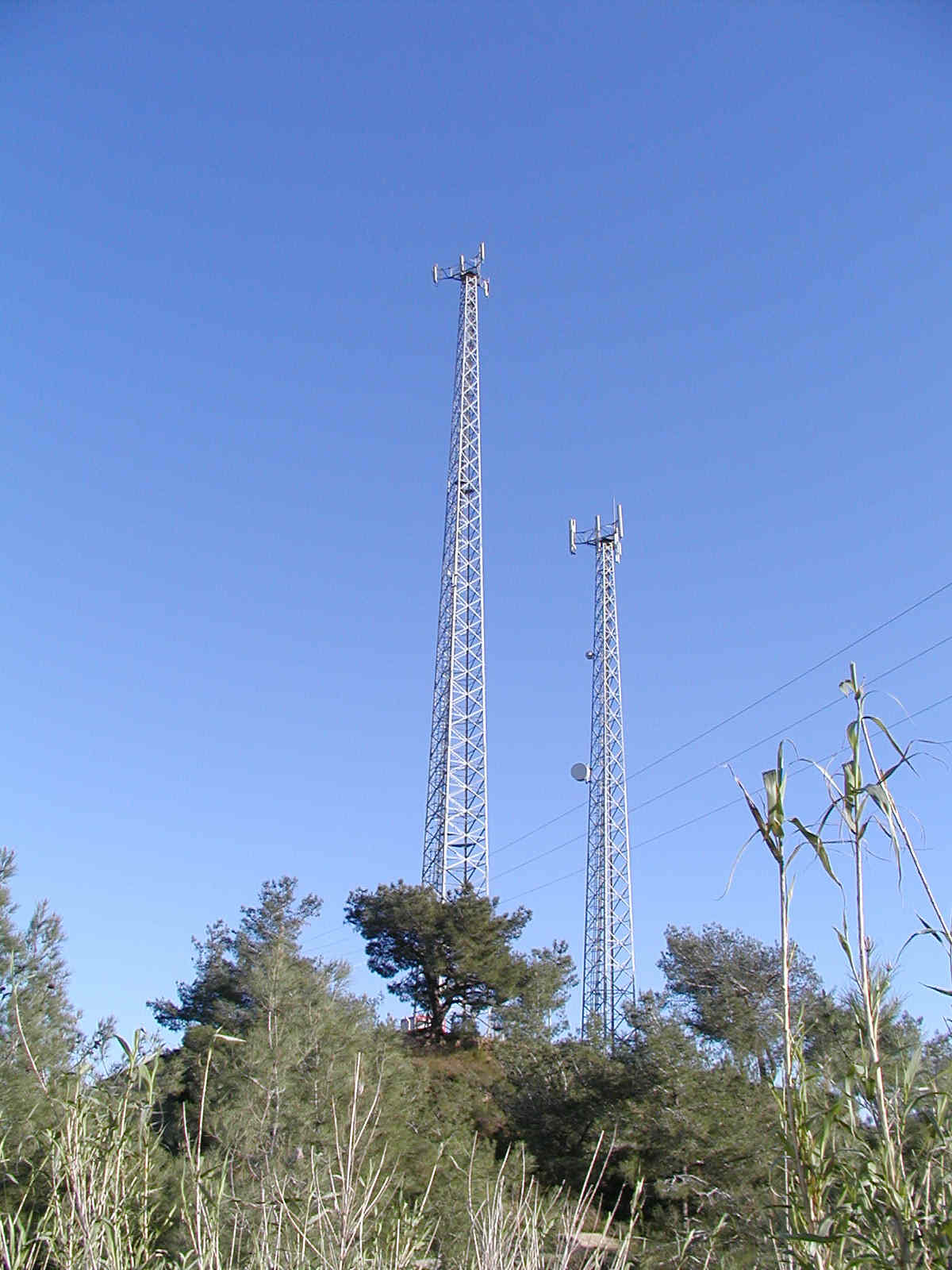
river-cross gondola for water sampling | water gauge | antenna on the hill (N37.089, E35.122) |
|
|
|
|
|
|
| landscape from top of the hill |
landscape from top of the hill |
landscape from top of the hill |
landscape from top of the hill |
landscape from top of the hill |
|
|
|
|
|
|
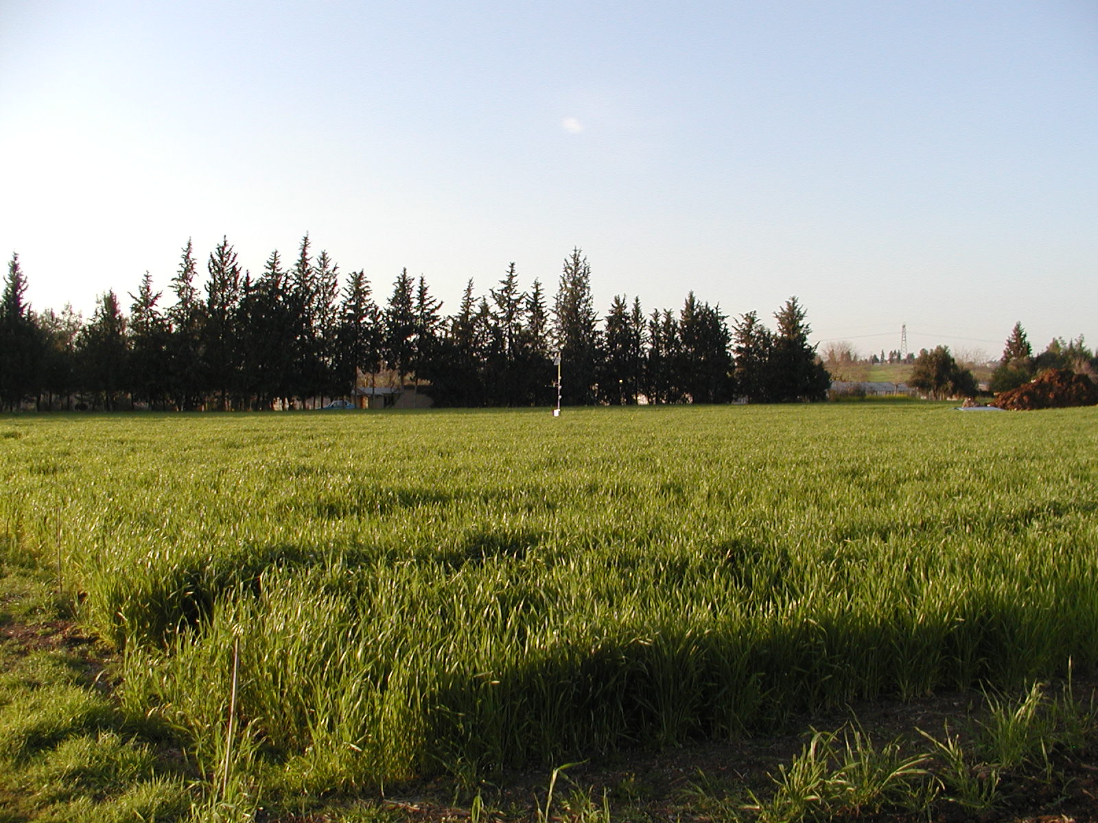
| pine forest | wheat field for flux measurement |
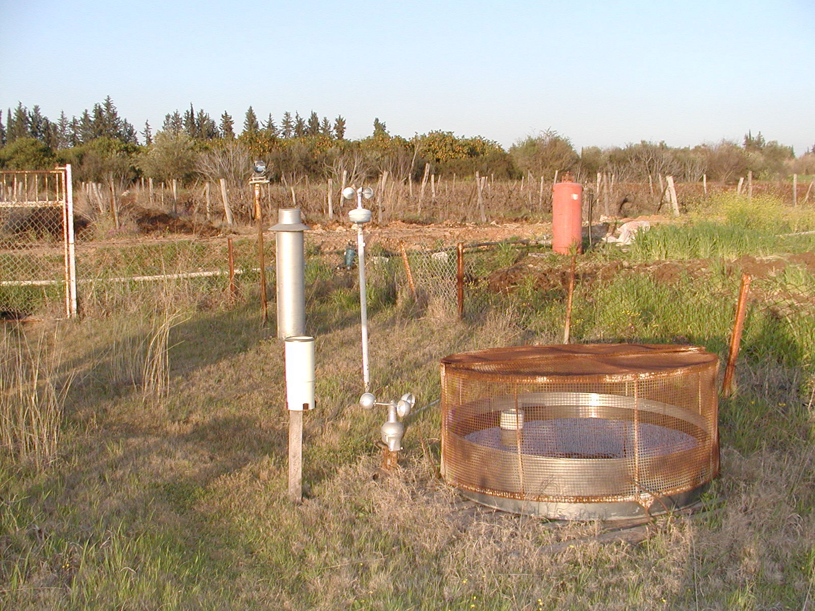
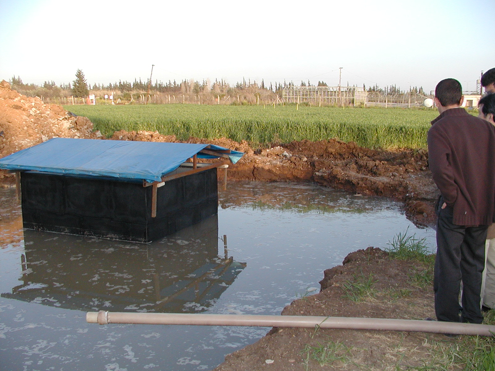
tube for irrigation | rain gauge and evaporation pan | water proof test of lysimeter |
|
|
|
|
|
|
| wheat field for flux measurement |
wheat field for flux measurement |
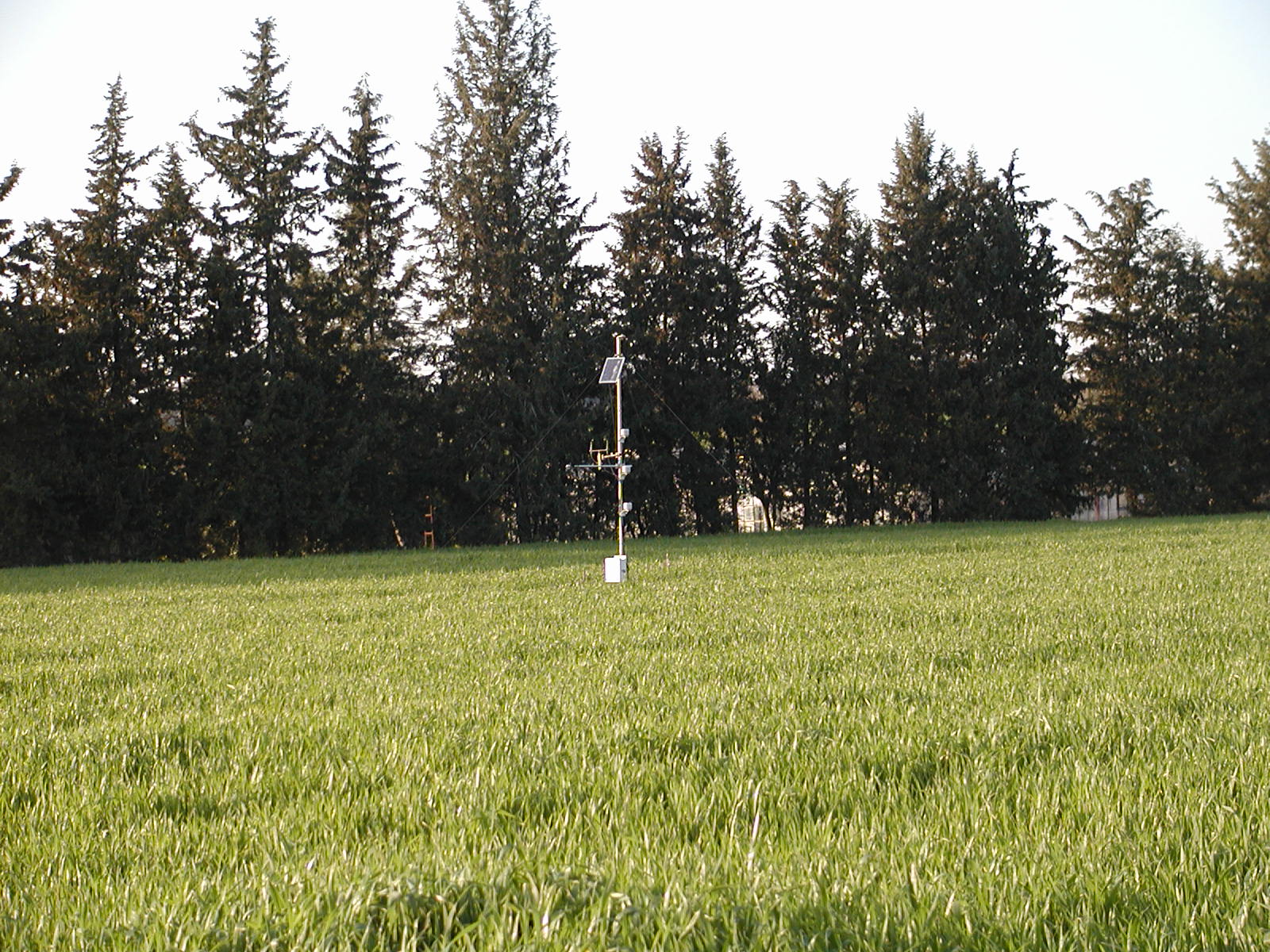
flux measurement system | solar panel | net radiometer (Q7) |
|
|
|
|
|
|
| road and pine forest | wheat field (N37.189, E35.581) |
road and wheat field | old castle on the hill (N37.437, E35.794) |
old castle |
|
|
|
|
|
|
| hill | Kozan Dam (N37.519, E35.831) |
Kozan Dam | Kozan Dam | Kozan Dam (embankment) |
|
|
|
|
|
|
| vegetation | vegetation | vegetation | vegetation (N37.732, E35.889) |
vegetation |